Topography of the Inca Trail
Our community is not an isolated destination; it is a central node within the vast road network of the Qhapaq Ñan. Departing from Misminay to Moray is not simple sports trekking; it is following the logistical cartography that the chasquis and Inca farmers mapped centuries ago to mobilize biodiversity.
Descent Into the Valley
The route demands moderate endurance. We walk bordering spectacular geological canyons, with an altimetry that gently descends from 3,750 meters. The operational advantage of staying overnight in Misminay is that the march towards Moray is downhill, avoiding the severe aerobic fatigue of ascending tourist routes.
Biometric Preparation
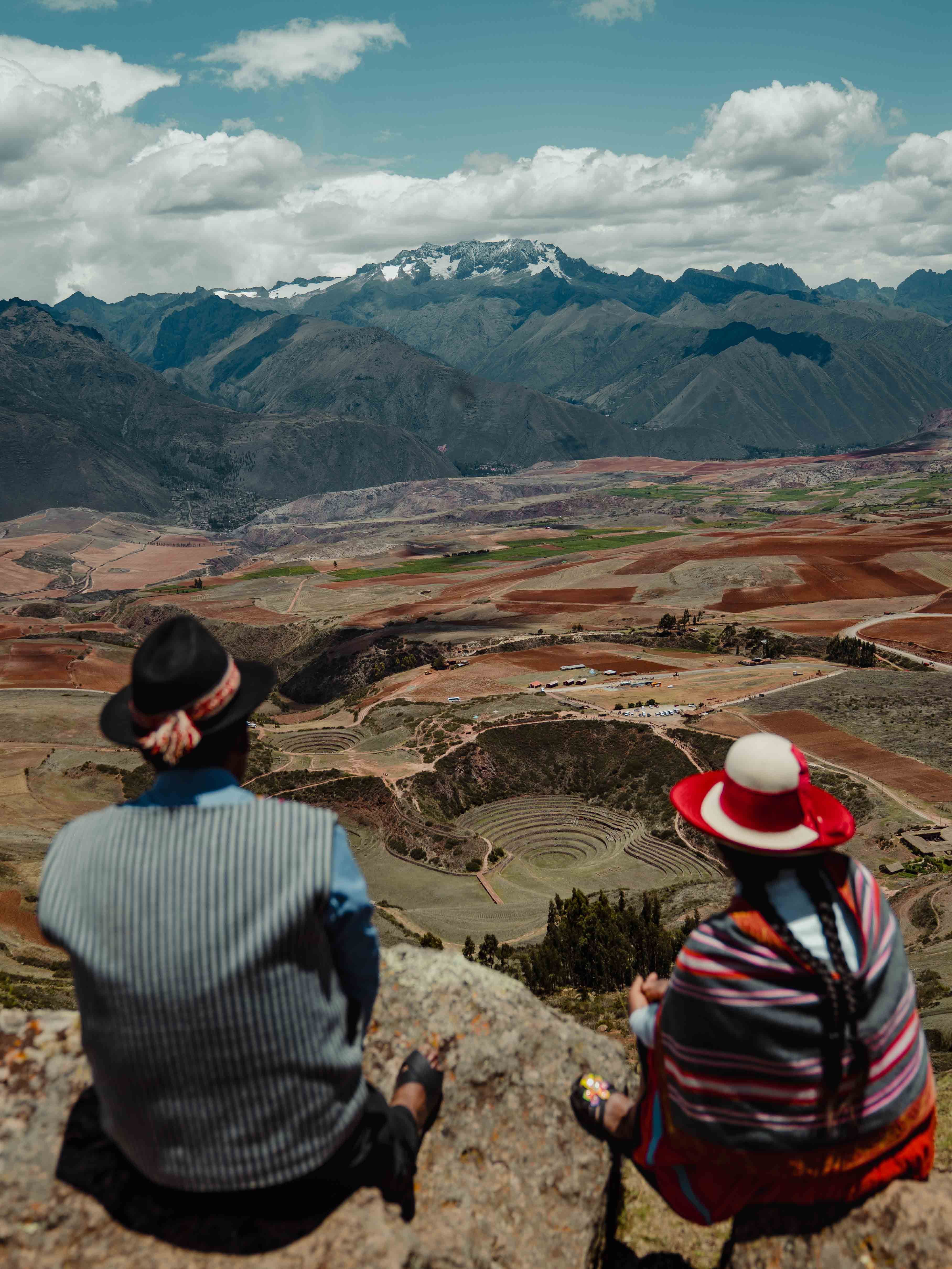
The ecosystem penalizes improvisation. Ultraviolet radiation at these latitudes is extreme due to the proximity to the equator and the thin atmosphere. We enforce the use of windbreakers, high-spectrum sun barriers, and hyper-frequent hydration. With the right pace, the journey rewards the traveler with uninterrupted views of the Vilcanota mountain range.